Skip to main content
Campground Results
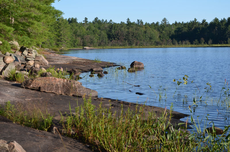
Apsley, Ontario
$1 / night
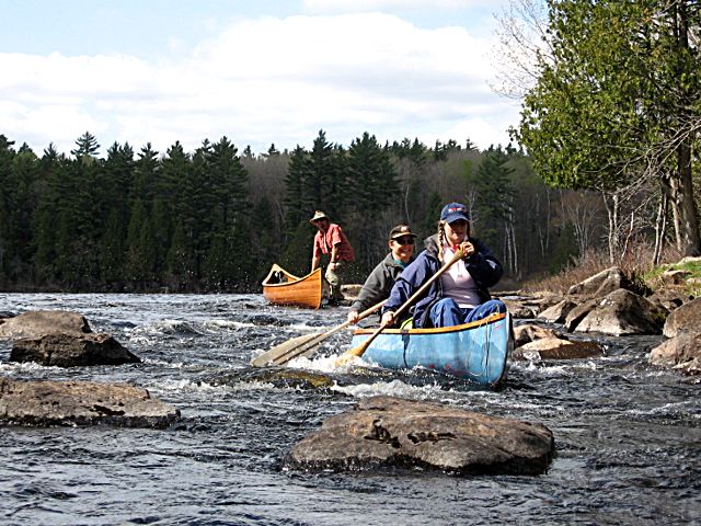
Woodview, Ontario
$1 / night
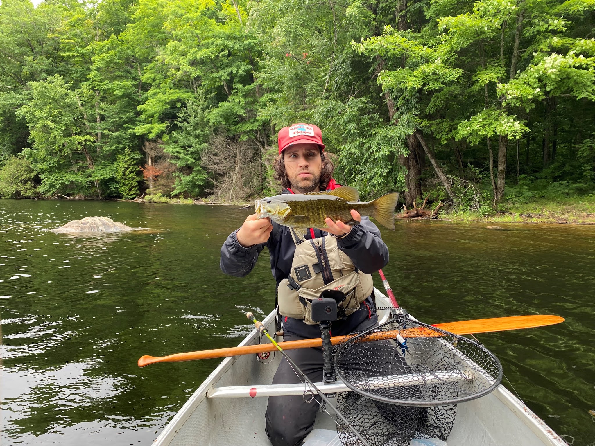
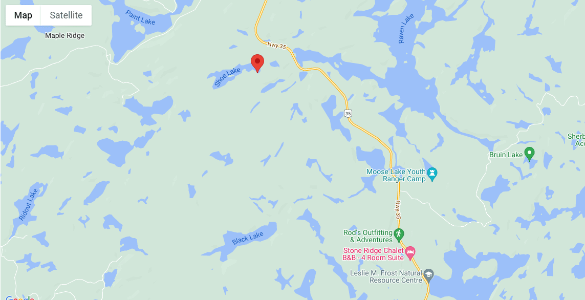
Kinmount, Ontario
$1 / night
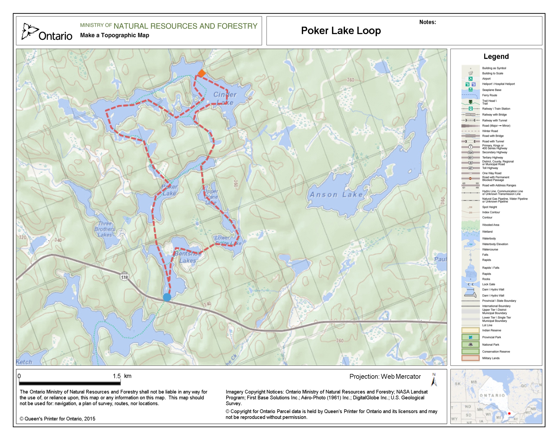
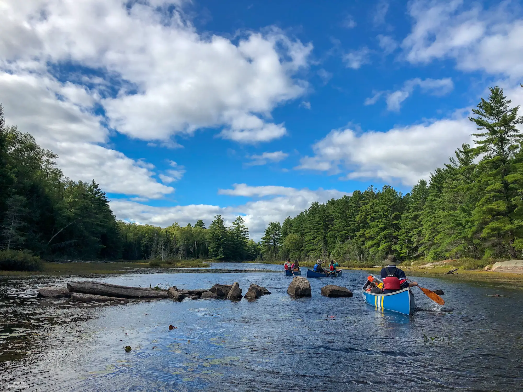
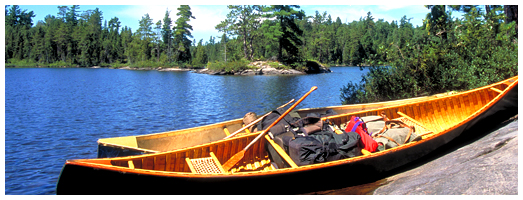
Poker Lake, Ontario
$1 / night
Burleigh Falls, Ontario
$1 / night
Peterborough, Ontario
$1 / night
Woodview, Ontario
$1 / night
Pine Springs, Ontario
$1 / night
Woodview, Ontario
$1 / night
Burleigh Falls, Ontario
$1 / night
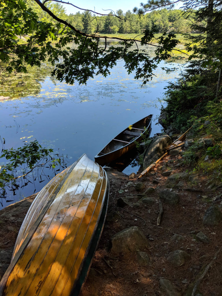
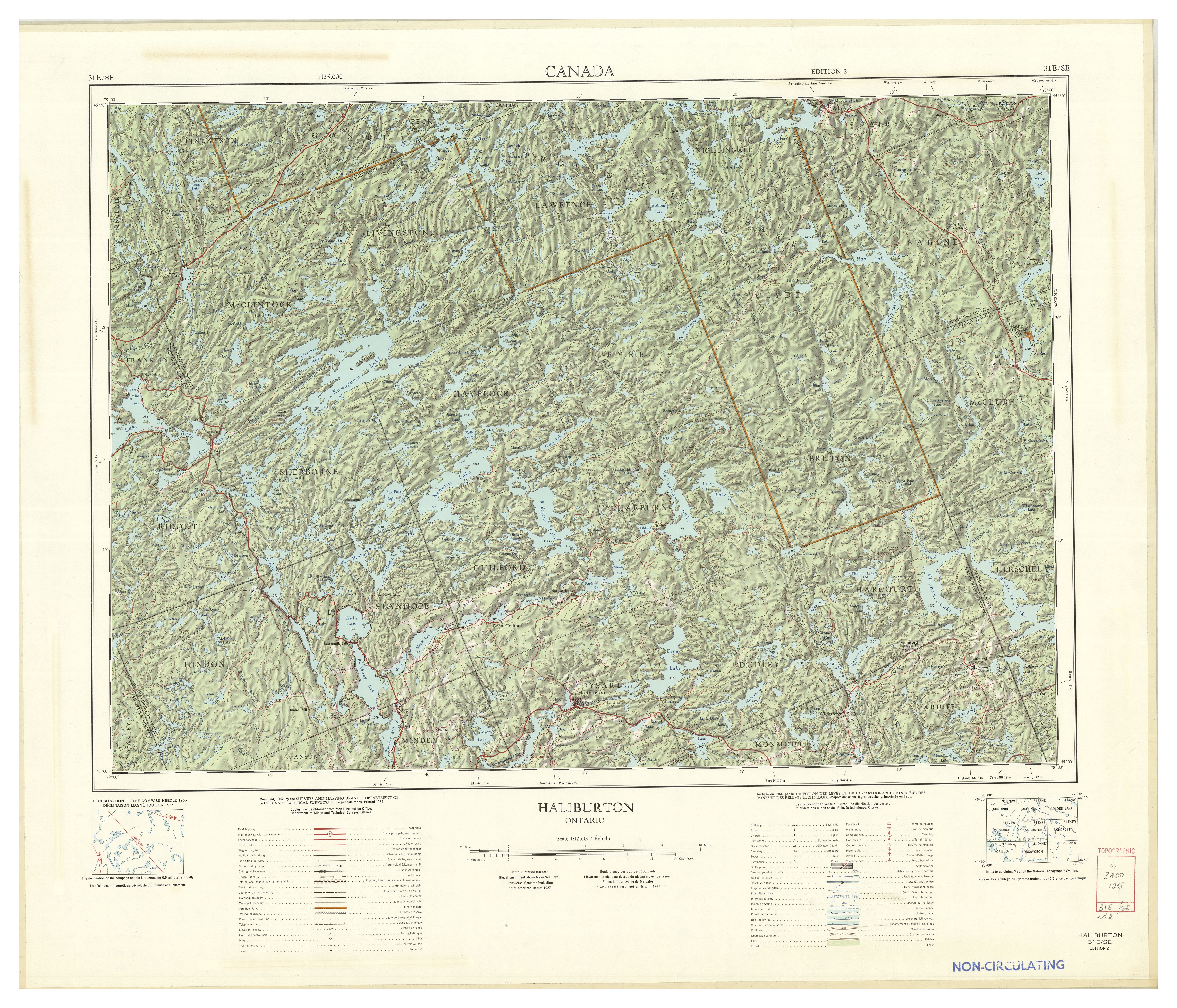
Dorset, Ontario
$1 / night
Wren Lake, Ontario
$1 / night
Gooderham, Ontario
$1 / night
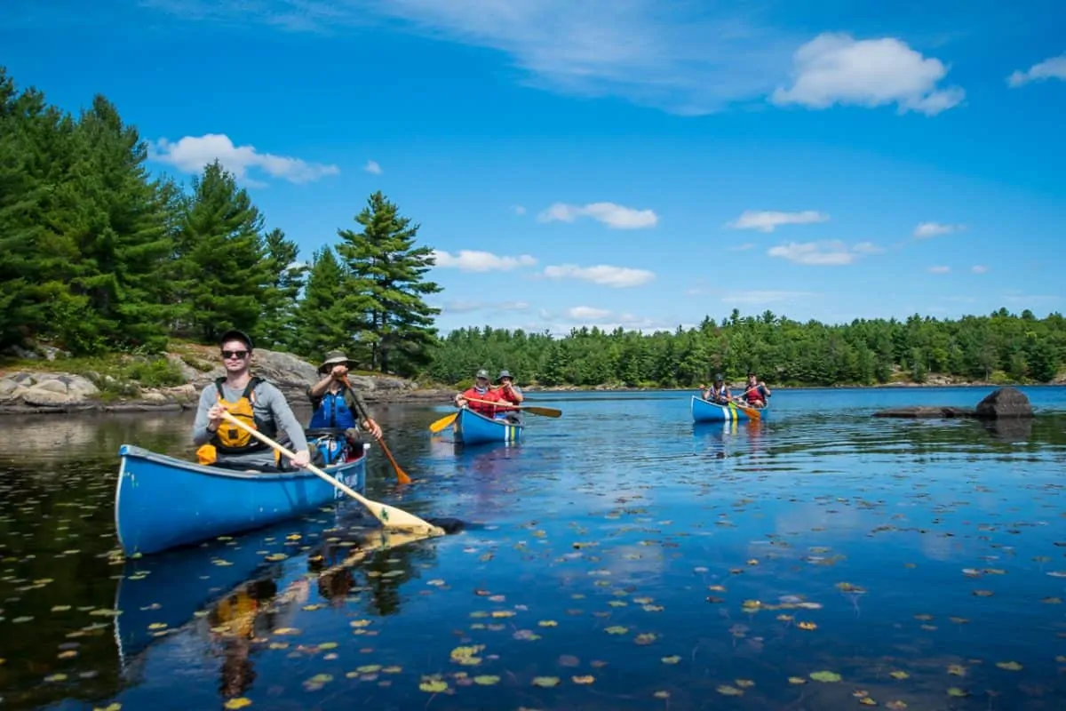
Dorset, Ontario
$1 / night
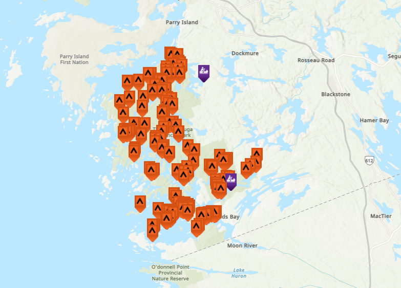
Parry Sound, Ontario
$1 / night
Woodview, Ontario
$1 / night
Minden, Ontario
$0.01 / night
Muskoka, Ontario
$1 / night
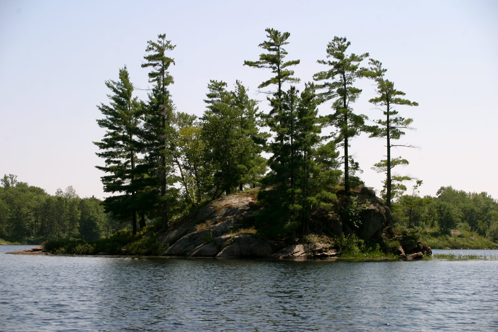
Dorset, Ontario
$1 / night
Big Hawk Lake, Ontario
$1 / night